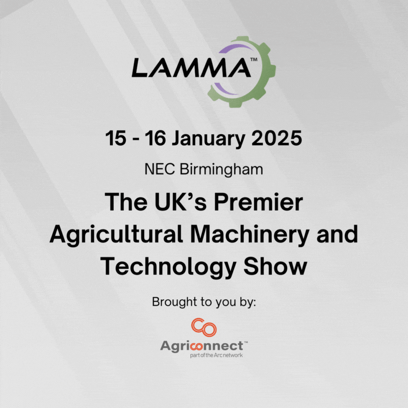
The LAMMA Show returns on Wednesday, 15 January, 2025, from 8.30am-5.00pm and Thursday, 16 January, 2025, from 8.30am-4.30pm at the NEC, Birmingham.
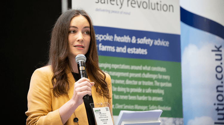
LAMMA is the UK's premier farm machinery show which connects farmers across a range of sectors with pioneering companies offering cutting-edge agricultural machinery, technology and equipment.
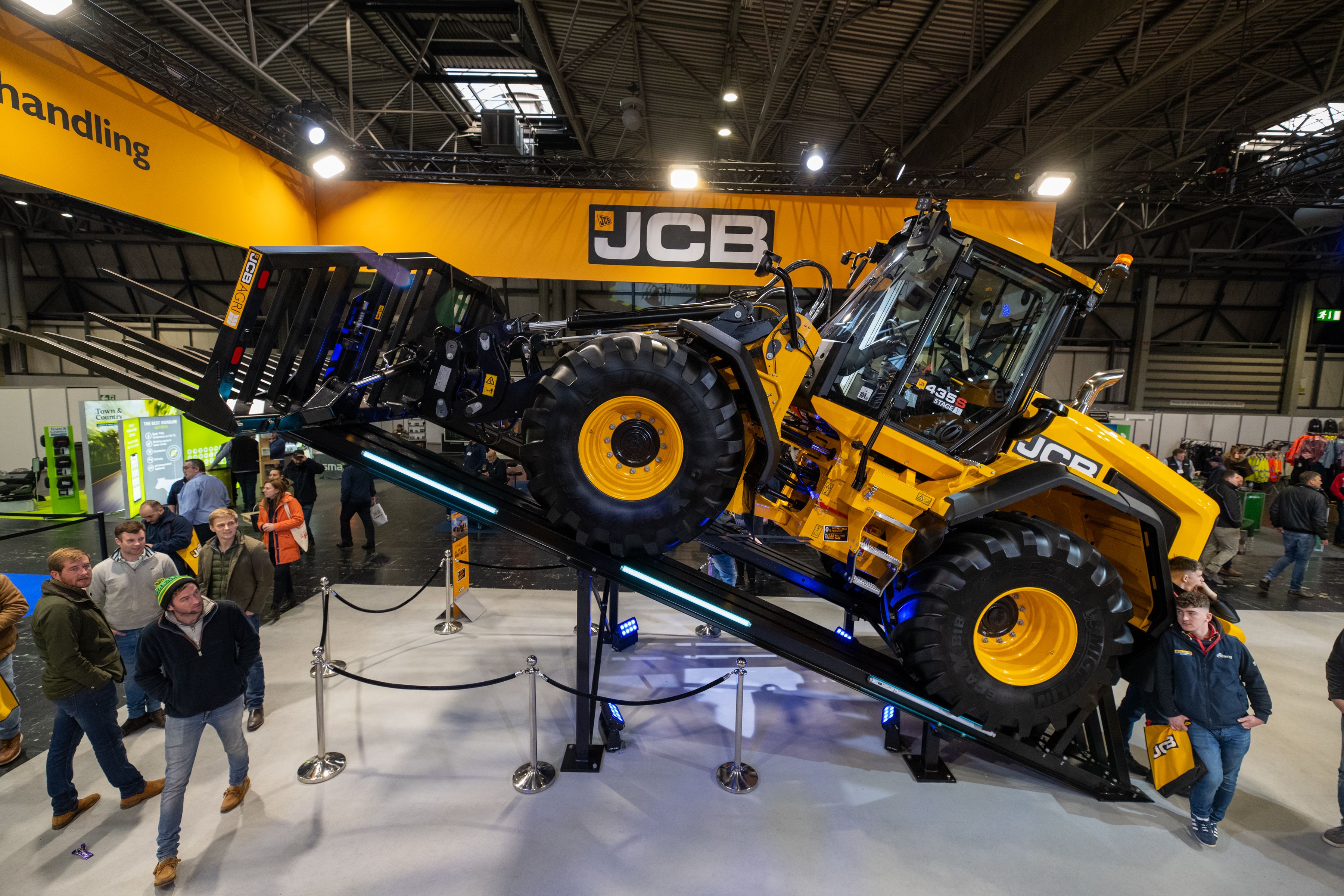
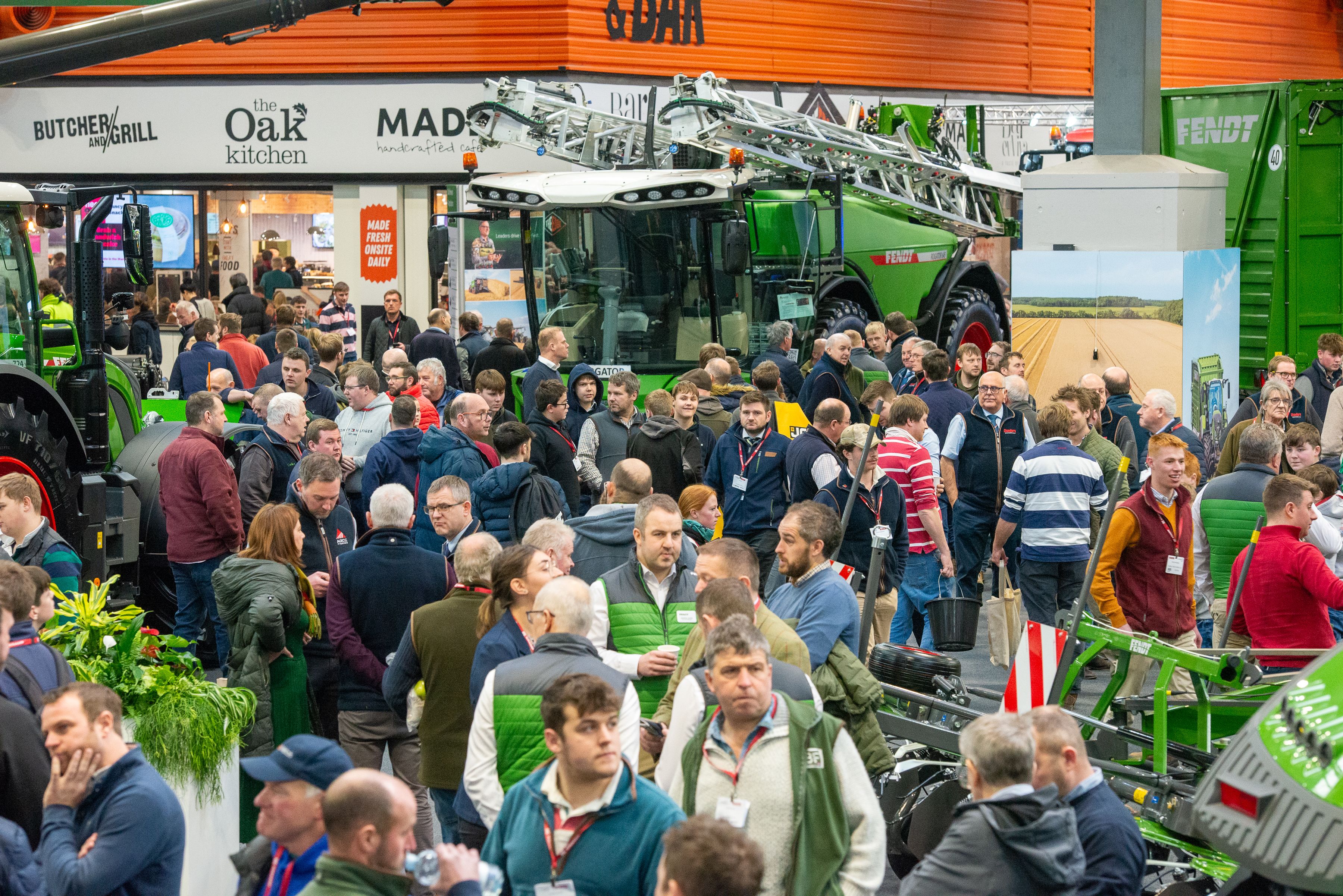
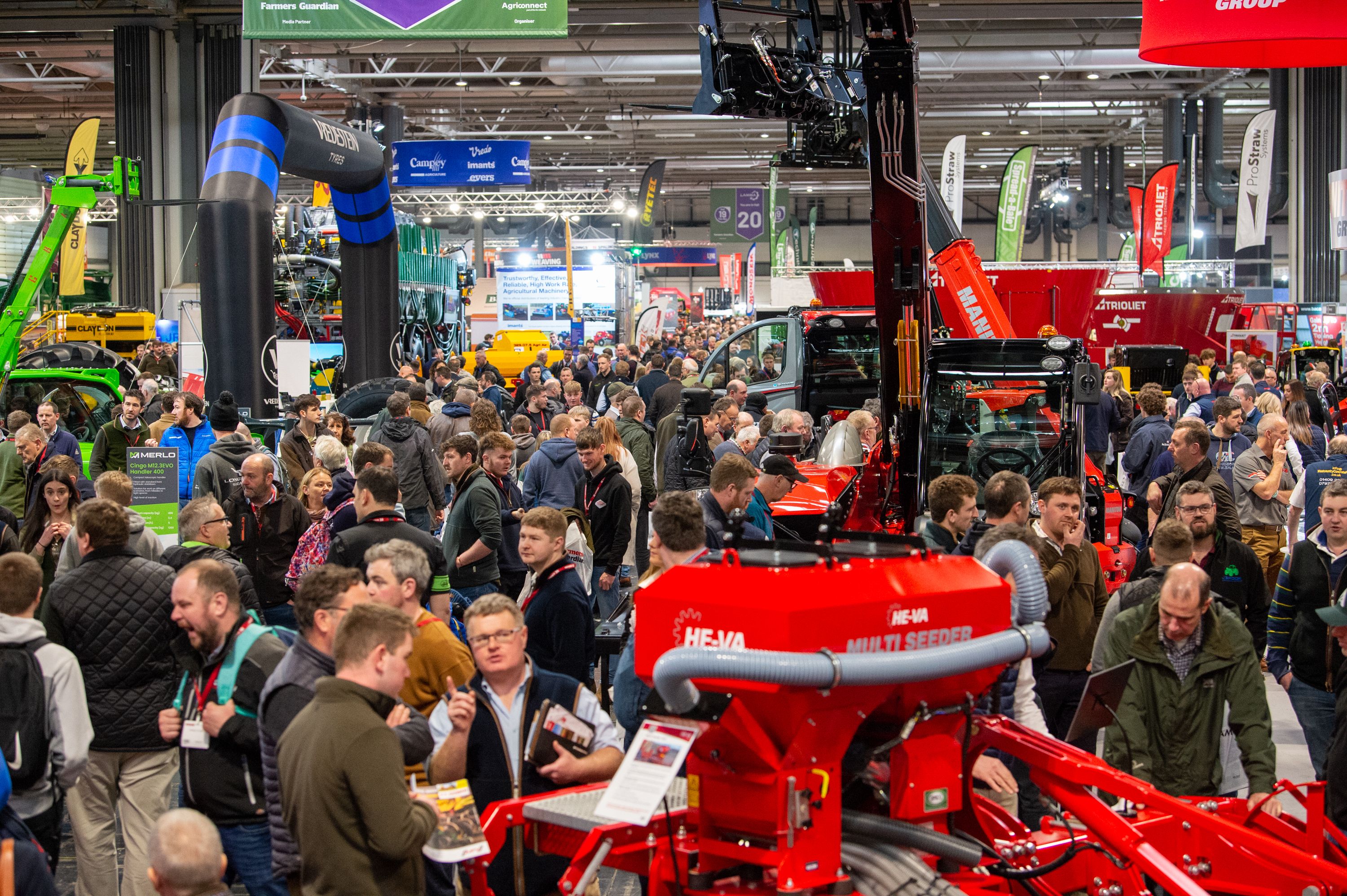
Explore the dynamic showcase featuring more than 600 exhibitors unveiling the latest innovations in tractors, combines, arable and grassland machinery and embrace the opportunity to look at a wide range of new technology, services and tools tailored to all sectors of agriculture.
Witness exclusive machinery launches, UK debuts and a collective display of both global brands and niche manufacturers, all under one roof.
Gather your team and attend LAMMA 2025 to embrace opportunities to network, do business, conduct market research and enrich knowledge with the insights from experts.

-presents-the-2024-LAMMA-Young-Engineer-Award-to-winner-Ieuan-Evans-(L).jpg/fit-in/500x500/filters:no_upscale())
)
)
)
)
.png/fit-in/500x500/filters:no_upscale())
-Ltd-Registered-Office-Sunway-House,-Raglan-Road,-Lowestoft,-NR32-2LW-Company-Number-00965389-VAT-Number-GB-598-22-99-77.-(19).png/fit-in/500x9999/filters:no_upscale())
-Ltd-Registered-Office-Sunway-House,-Raglan-Road,-Lowestoft,-NR32-2LW-Company-Number-00965389-VAT-Number-GB-598-22-99-77.-(16).png/fit-in/500x9999/filters:no_upscale())
)
)
.png/fit-in/500x9999/filters:no_upscale())
)
)
)
)

.png)
.png)